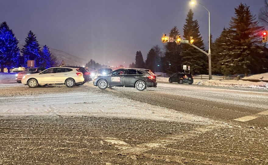
The National Weather Service said Utah's northern mountains will see more snow this week.
Areas with an elevation of 7,500 feet to 8,500 feet will see snow starting Tuesday afternoon with levels dropping to 4,000 feet or 5,000 feet by late Wednesday, early Thursday.
The valley rain and mountain snow should move out Thursday morning, according to the NWS.
The Utah Department of Transportation is warning drivers to plan ahead for heavy snow impacts on Utah's mountain routes. At lower elevations, rain could freeze overnight and lead to icy conditions.
Check UDOT for the latest road conditions in your area.
Road Weather Alert:
— UDOT Traffic (@UDOTTRAFFIC) March 13, 2023
A strong storm system will impact the state TUE afternoon thru WED night bringing rain to the Wasatch Front/valleys. Heavy road snow impacts are expected for Utah's mtn. routes.
For more info, visit: https://t.co/4P1gO2c9Uo #utwx #utsnow @UtahTrucking pic.twitter.com/B9QNsGEFlu
UDOT said these routes will experience weather-related travel conditions:
-I-15, Cove Fort
-I-70, Cove Fort to Salina Summit
-I-80, Parleys Canyon to WY Border
-I-84, Echo Jct. (I-80 Jct.)
-US-6, Spanish Fork Canyon to Helper
-US-40, Silver Creek Jct.; Daniels Summit to Fruitland
-US-89, Logan Summit; Sardine Summit; Thistle to Long Valley Jct.
-US-189, Provo Canyon (Entire Route)
-US-191, WY Border to Vernal; Indian Canyon Summit
-SR-14, Cedar Canyon to Brian Head (Entire Route)
-SR-190, Big Cottonwood Canyon (Entire Route)
-SR-210, Little Cottonwood Canyon (Entire Route)
-SR-224, Kimball Jct. to Ontario Mine (Entire Route)


