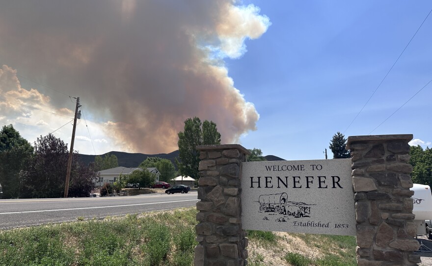
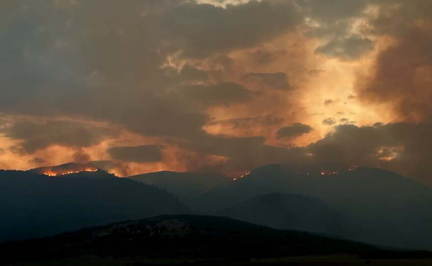
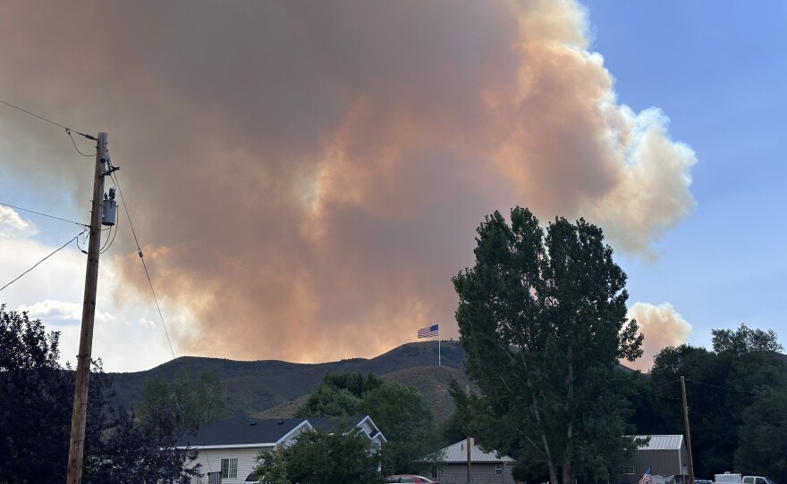
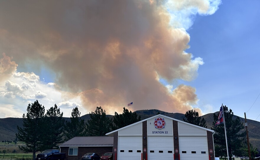
KPCW is working with officials to monitor the Rocky Canyon Fire burning in Summit and Morgan counties. Updates, evacuation notices and shelter locations will be included below as they become available.
As of Tuesday at 8:30 a.m., the fire was estimated to be around 13,601 acres in size and 23% contained.
Utah Fire Info reports Monday night winds pushed the fire onto itself, helping to slow the blaze's progression to the north.
Officials say Tuesday cloud cover will help cool the fire but gusty, erratic winds will make the fire less predictable.
No structures were reported lost as of Tuesday morning.
Officials said the fire was human-caused, but the exact source remains under investigation.
There are no current reports of lost livestock.
EVACUATION STATUSES
Evacuation statuses issued by officials are listed below.
Evacuation statuses are designated as Ready, Set or Go.
- A "Ready" status means residents should locate necessary items they might need in an evacuation event.
- A "Set" status means residents should place all necessary items in their car and be prepared to evacuate immediately.
- A "Go" status means residents should immediately evacuate the area.
Contact 911 if assistance is needed to evacuate. Do not delay to gather additional belongings.
Additional information will be provided as it becomes available on Summit County's website and Utah Fire Info.
Those residents placed under a "Ready" status should begin packing their go-bag. A full list of what should be included can be found here.
Town of Henefer
Officials announced at 3:57 p.m. Monday that all residents west of Main Street in Henefer between East Canyon Road and South Henefer Road are being evacuated. Residents were placed under a "Go" evacuation status and should evacuate the area immediately.
A temporary shelter is open in the LDS Chapel at 40 N. Main St. in Coalville.
According to 2024 Census data, the town of Henefer as a population of about 1,000.

South of Franklin Canyon to Icy Springs/Wohali Way
At 1:25 p.m. Monday, authorities moved residents south of Franklin Canyon to Icy Springs/Wohali Way up from a "Ready" status to a "Set" status.
Residents in this area should load their vehicles with their go-bag and essentials. This is not an evacuation notice, but all residents should be ready to leave in a moment's notice if need be.
At 7 p.m. Sunday, Summit County officials issued a fire warning for residents south of Franklin Canyon to Icy Springs/Wohali Way.
Residents in this area were placed under a "Ready" status, meaning they should be prepared to evacuate. However, this is not an evacuation notice.
Officials advised residents to gather important documents, prepare vehicles and animals, gather medicines, and prepare an evacuation bag.

Morgan County on Highway 66
At 1:15 p.m. Monday, Morgan County officials announced that residents who were evacuated on Highway 66 will remain out of their homes until Tuesday morning as crews assess the area.
Crews are seeing success on the southwest edge along Highway 66 to Morgan. They will continue to mop up around the edge and protect structures.

East of 300 W in Henefer to I-84
At 9:51 p.m. Sunday, officials issued a fire warning for residents east of 300 W. in Henefer to I-84.
The area is under a "Set" status, meaning residents should be ready for a possible evacuation. However, this is not a current evacuation order.
Officials advised residents to load their vehicles with their go-bags and other essentials.

Summit County
Summit County residents received an alert via the emergency system instructing all residents to evacuate Sunday evening. Officials with Summit County confirmed this was a misfire by the system.
"Both sides of West Henefer Road are in "Go" status. The rest of the town of Henefer is in "Ready" status. And beyond that, everyone else can disregard. There's no current threat from the Rocky Canyon fire or any other fires," Summit County Spokesperson Derek Siddoway said Sunday evening.
Summit County also posted on Facebook and said, "We are aware of a "GO" evacuation alert that went out across Summit County. At this time, only residents between the Summit County Line at Hog Back Summit and West Henefer Road are under evacuation. The rest of the town of Henefer is in READY status."
All other areas can disregard. Go to summitcounty.info/emergency for all current updates.
Hog Back Summit County to West Henefer Road
Homes between Hog Back Summit County and West Henefer Road were moved into a "GO" status as of 3:16 p.m. Sunday.
All residents in the area above should evacuate immediately.
The community meeting scheduled Sunday, Aug. 9, at 7 p.m. for Henefer residents and those impacted by the Rocky Canyon Fire was canceled.
Summit County officials said, "At this time, only residents between the Summit County Line at Hog Back Summit and West Henefer Road are under evacuation. The rest of the town of Henefer is in READY status."
A temporary shelter has been opened at the Henefer LDS Chapel at 709 N. Main St. in Henefer.

As of Sunday, residents from White's Crossing to East Canyon Dam are in "GO" status for evacuation. Residents in this area should leave their homes immediately.
A shelter is available at Morgan High School's Trojan Century Center located at 699 E. Young St. in Morgan, Utah.
Bring pet carriers if you have them; larger farm animals can be accommodated at the County Fairgrounds.
CLOSURES AND ROAD IMPACTS
- SR-66 is closed.
- SR-65 from Henefer is closed.
- The north end of East Canyon State Park, including Dixie Creek Campground and day-use areas, is under an evacuation order.
- Echo State Park: Visitors are strictly prohibited from going past the shoreline while fire operations are underway. All boat ramps are temporarily closed until further notice. The park remains open and operational for land-based activities.
POWER OUTAGES
Rocky Mountain Power reported an outage in White's Crossing due to fire impacts. As of 10:48 a.m. Sunday, 31 customers were without power.
Power is expected to be restored by 11 a.m. on Tuesday, Aug. 11.
FIRE UPDATES
3 P.M. MONDAY
As of Monday at 3 p.m., the fire was estimated to be around 15,500 acres in size and 0% contained.
No structures were reported lost as of Monday afternoon.
Officials said the fire was human-caused, but the exact source remains under investigation.
There are no current reports of lost livestock.
9:00 A.M. MONDAY
The fire remains around 13,000 acres in size and 0% contained.
Utah Fire Info reported crews held the strategic firing operations from Hogs Back Summit back to the East Canyon Dam. The fire remained within the perimeter, and the edge began to cool off around 3 a.m.
On the western edge, crews are working to secure the edge. If conditions continue, there may be some containment around the East Canyon area soon.
On the north and east perimeters, the fire crossed Franklin Canyon.
There is still potential for growth on the southeast corner. This area could lead to possible impact near the I-80/I-84 junction.
Aircraft will support all areas of the fire where needed.
There are predicted isolated thunderstorms across the fire area throughout the day, becoming more likely around 2 p.m. This could bring sustained 45 mph winds and lightning.
8:45 P.M. SUNDAY
Forest Service Region 4 Program Manager Sierra Hellstrom confirmed the fire grew to an estimated size of 13,000 acres.
The fire remains 0% contained with no structures lost.
High winds of 50 mph to 70 mph impacted the fire. It is now burning toward I-84 and turned south.
3:45 P.M. SUNDAY
Utah Fire Info reported that the Rocky Canyon Fire expanded on the northeast side and is moving toward Henefer, Utah. The fire has also spotted across SR-65 heading NE toward area between Hennefer and Echo Lake, I-84 corridor.
Residents in affected areas should follow all evacuation orders and remain alert for additional updates. Avoid the area whenever possible to allow emergency crews to safely conduct fire suppression operations.
8:30 A.M SUNDAY
Utah Fire Info reported the Rocky Canyon Fire to be an estimated 2,800 acres. Officials said crews are working to establish a perimeter.
Residents should stay clear of the area at this time. Officials also ask that civilians refrain from flying drones over the active fire area.
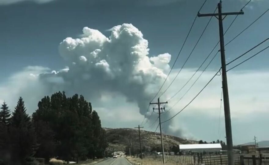
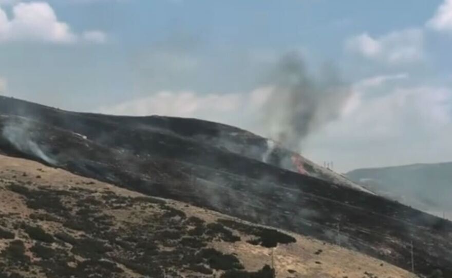
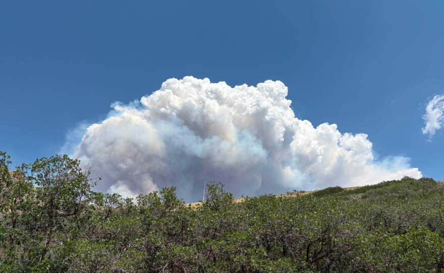
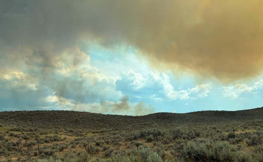
PHOTOS
August 10, 2026


August 9, 2026