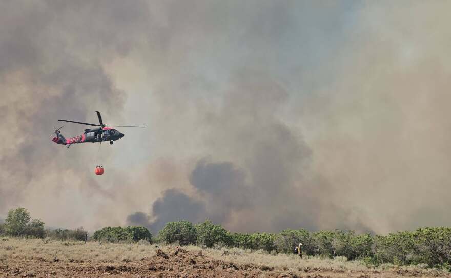
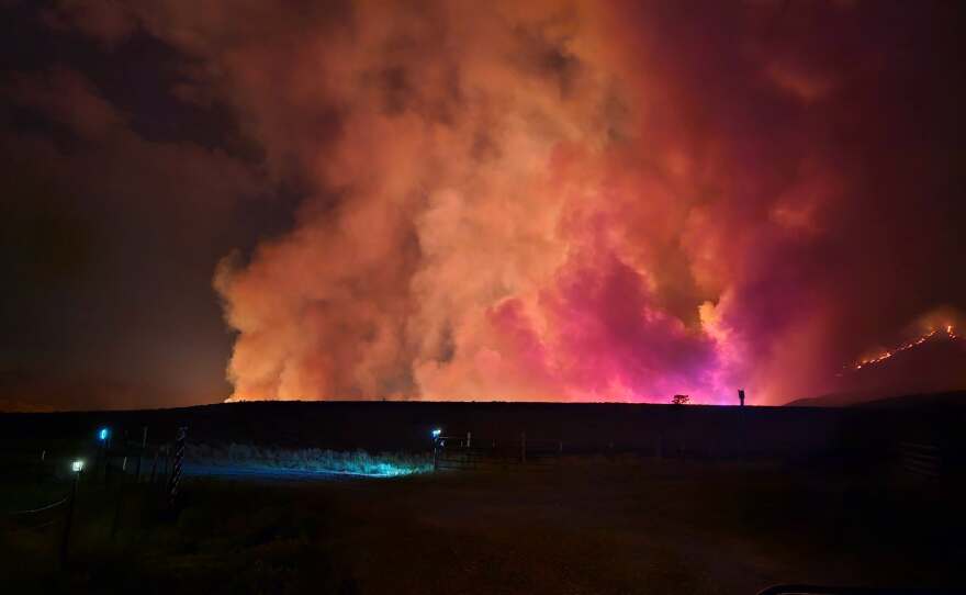
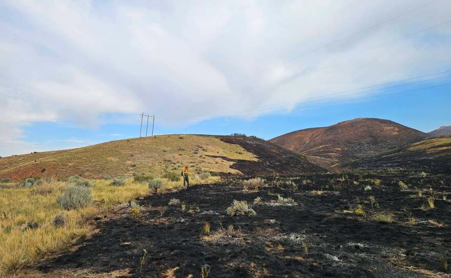
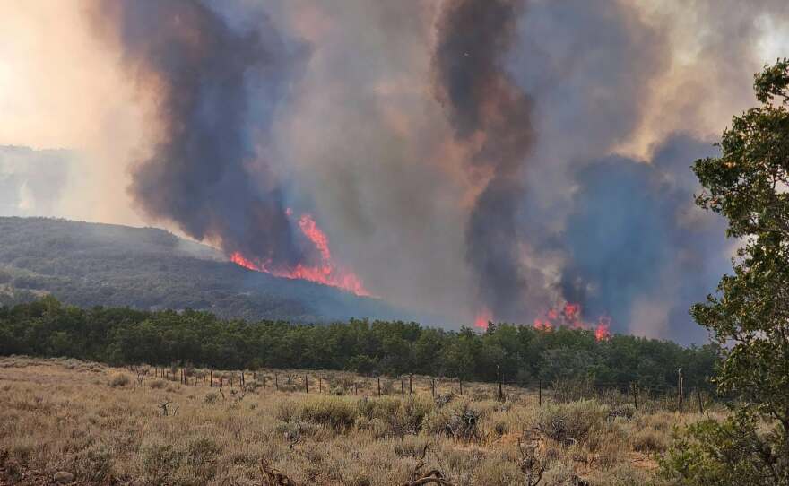
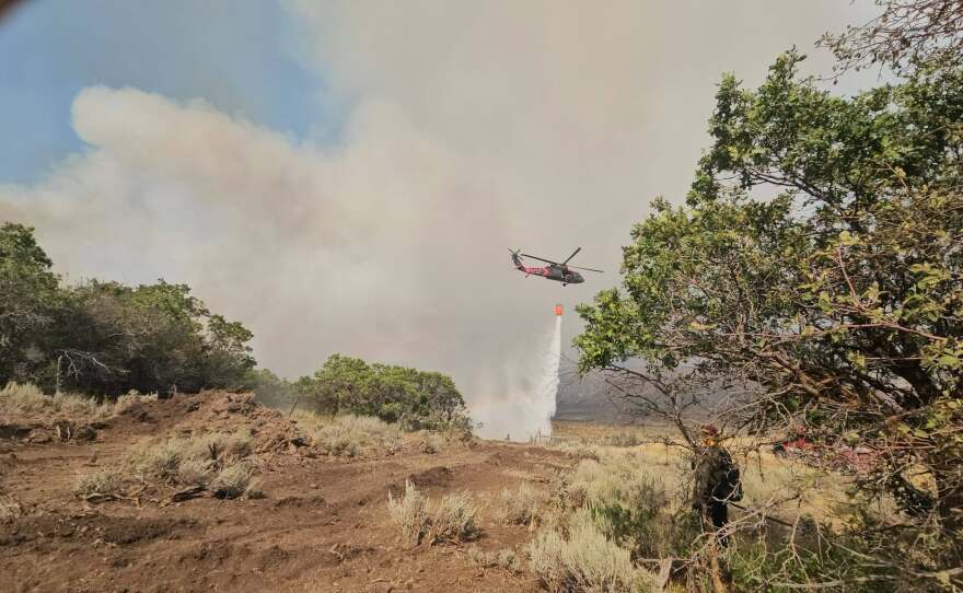
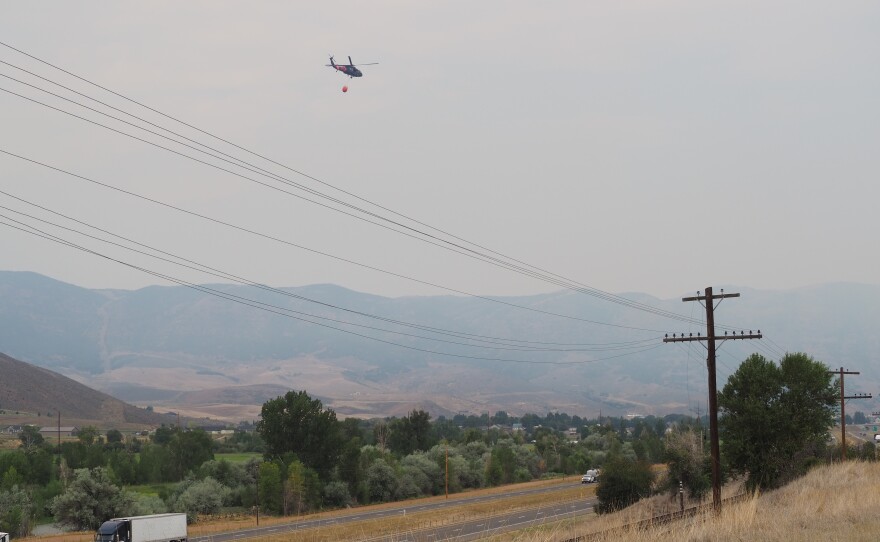
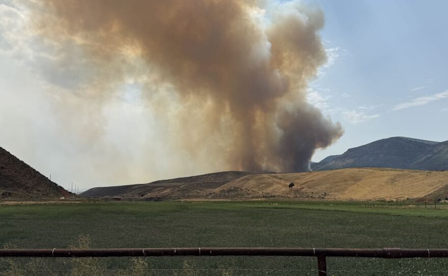
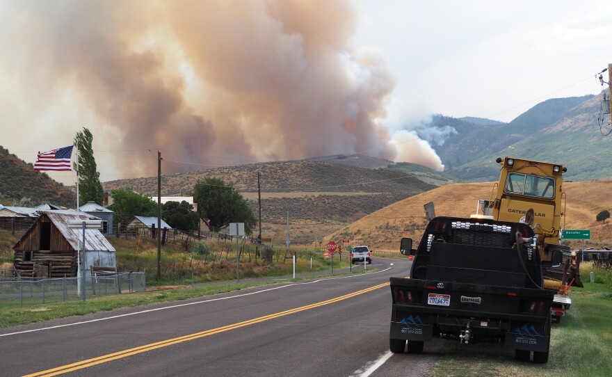
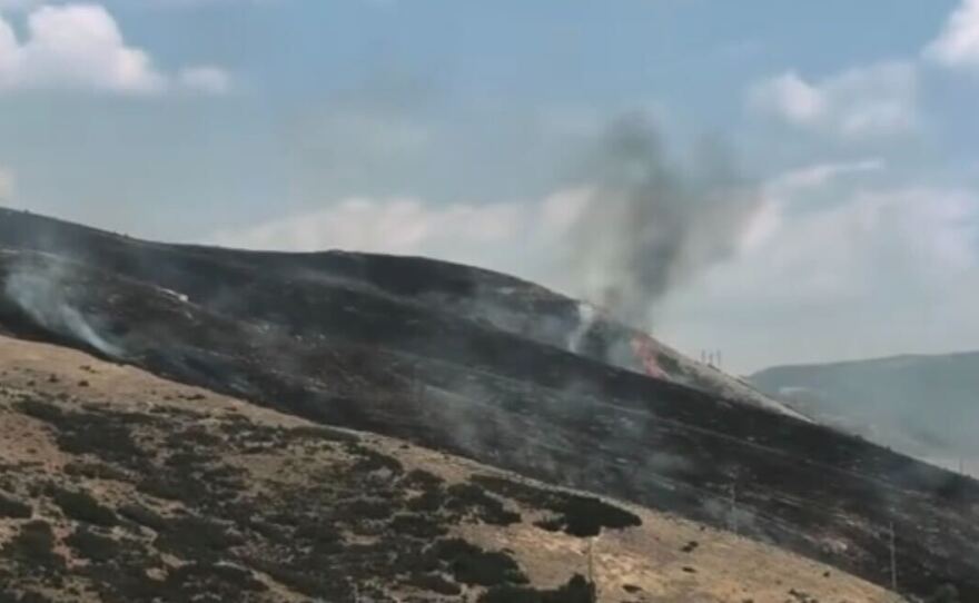
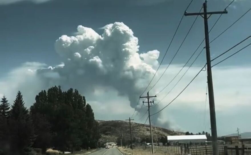
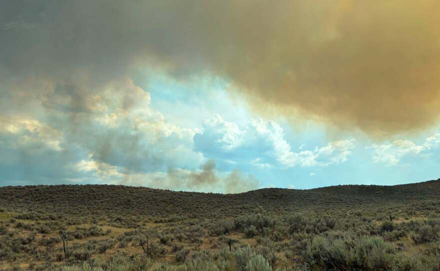
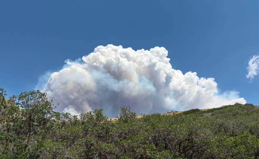
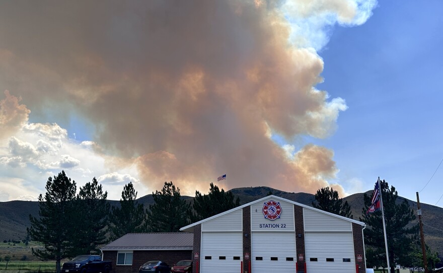
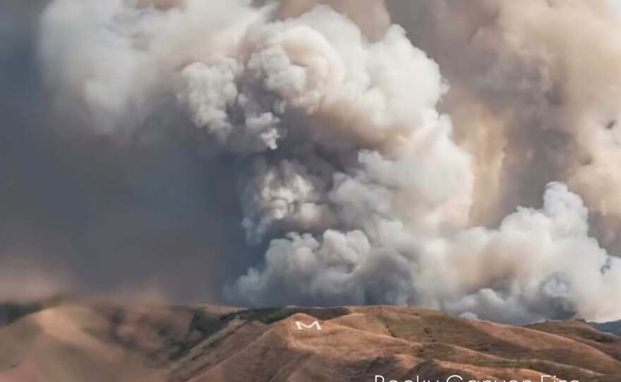
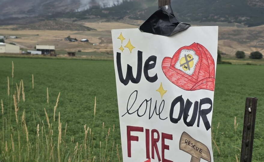
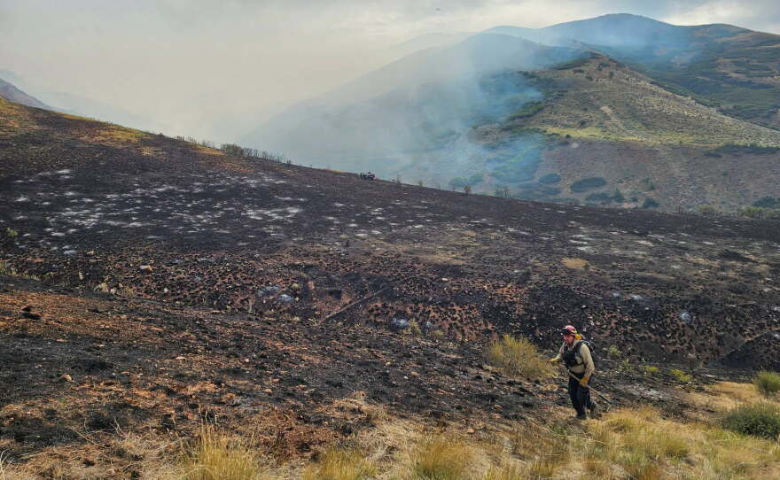
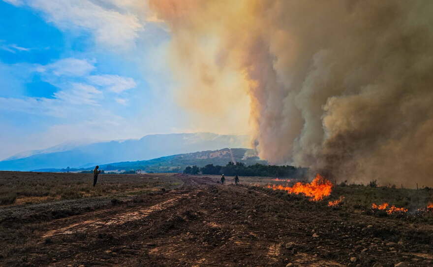
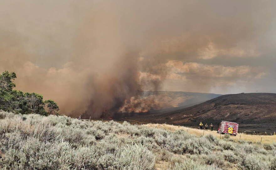
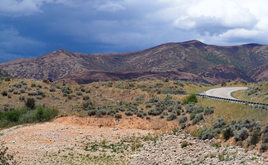
KPCW is working with officials to monitor the Rocky Canyon Fire burning in Summit and Morgan counties. Updates, evacuation changes, containment numbers and shelter locations are updated here.
The fire has burned for six days now, four since crossing into Summit County.
At 3:30 p.m. Thursday, the Summit County Sheriff's Office said evacuation orders have been lifted for Summit County residents. However, Sheriff Kacey Bates said residents should remain ready to leave again, if fire behavior changes.
Most Morgan County evacuations were lifted earlier this week.
Utah Fire Info shows the Rocky Canyon Fire has burned more than 15,600 acres. Crews had achieved 40% containment Thursday afternoon.
EVACUATIONS
Evacuation statuses issued by officials are listed below. Evacuation statuses are designated as Ready, Set or Go.
- A "Ready" status means residents should locate necessary items they might need in an evacuation event.
- A "Set" status means residents should place all necessary items in their car and be prepared to evacuate immediately.
- A "Go" status means residents should immediately evacuate the area.
Contact 911 if assistance is needed to evacuate. Do not delay to gather additional belongings.
Additional information will be provided as it becomes available on Summit County's website and Utah Fire Info.
Those residents placed under a "Ready" status should begin packing their go-bag. A full list of what should be included can be found here.
Statuses moving from 'Go' to 'Set'
The Summit County Sheriff's Office announced Thursday at 3:30 p.m. residents in Henefer could return to their homes but should remain ready to leave again at a moment's notice.
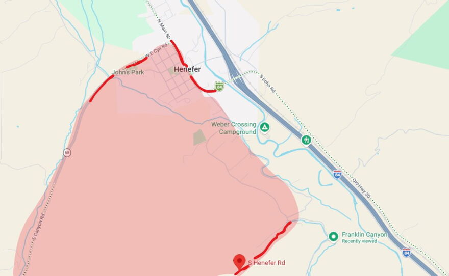
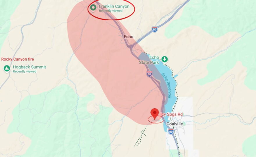
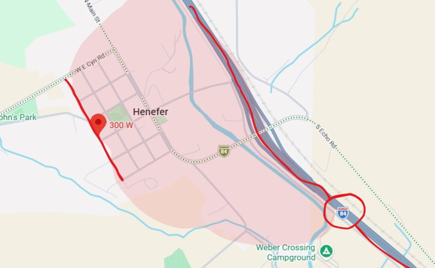
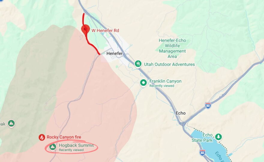
According to the post, "East of 300 W to I-84 in Henefer; South of Franklin Canyon to Icy Springs / Wohali Way. South of SR 65, West of 300 W & S Henefer Rd; West of Main St. between East Canyon Rd and South Henefer Rd., Hog Back Summit to West Henefer Road," are in a "SET" status.
1 of 4
— Rocky Canyon Fire Evac area
Area west of Main Street in Henefer between East Canyon Road and South Henefer Road via Google Maps.
Google Maps / KPCW
2 of 4
— Rocky Canyon Fire Evac Zone
Area south of Franklin Canyon to Icy Springs Road and Wohali Way in Summit County, Utah, via Google Maps.
Google Maps / KPCW
3 of 4
— Rocky Canyon Fire evac zone
Area east of 300 West in Henefer, Utah, to I-84 via Google Maps.
Google Maps / KPCW
4 of 4
— Rocky canyon Evac Zone
Area between Hog Back Summit and West Henefer Road via Google Maps.
Google Maps/KPCW
FIRE UPDATES
2 P.M. THURSDAY
Utah Fire Info reported the fire's total size is estimated at more than 15,600 acres and is 29% contained as of Thursday afternoon.
Officials said, "Firefighters are moving carefully through steeper terrain, where last night’s light rain—combined with ongoing fire activity—has created unstable footing and occasional rolling debris. Direct work along established dozerline is continuing where conditions are safe. Ground crews remain focused on strengthening indirect line."
Officials also said increased rain in the area could lead to possible flash flooding and advised crews and residents to stay clear of burn scars at this time.
9 A.M. WEDNESDAY
Utah Fire Info reported that the fire's total size is estimated at 15,366 acres Wednesday morning, up from 14,631 Tuesday evening. It remains 23% contained.
Crews saw normal fire behavior, with active fire until about 3 a.m., when the fire mostly cooled and calmed.
Utah Fire Info said on Facebook, "The northeast corner closest to Henefer, the fire is pushing high into the rocky area. As it continues to burn, the timber at these elevations will burn hotter and faster. Even through cooler temperatures, the fire was making large runs onto the ridges. This is the fire visible from Morgan County. Crews will continue to be inserted into this higher ground to keep the fire from progressing up the northwest perimeter."
The south edge of the fire in Morgan County along SR-66 and SR-65 is remaining cool. However, there are still pockets of interior heat which crews are monitoring.
Evacuations remain in place for residents west of Main Street in Henefer between East Canyon Road and South Henefer Road.
SUPPORT
Community members looking to support the firefighting effort and residents displaced by the Rocky Canyon Fire can donate to the Red Cross's Western Wildfires fund here.
Officials said community members can also help by following directions from emergency authorities and remaining aware in case of possible emergency alerts.
PHOTOS
1 of 49
— Screenshot 2026-08-13 142102.png
Crews battle the Rocky Canyon Fire in Summit and Morgan counties in August of 2026.
Firefighter
2 of 49
— help2.jpg
Photos taken near the Rocky Canyon Fire in Summit County, Utah, on Aug. 12, 2026.
Utah Fire Info
3 of 49
— 771708478_1326099849601589_2414032982984236457_n.jpg
Photos of the Utah National Guard assisting with the Rocky Canyon Fire on Aug. 11, 2026.
National Guard / Utah Fire Info
4 of 49
— 772038748_1554159200091637_1724185433302141308_n.jpg
Photos of the Utah National Guard assisting with the Rocky Canyon Fire on Aug. 11, 2026.
National Guard / Utah Fire Info
5 of 49
— Rocky Canyon Fire wildfire
A photo of Rocky Canyon Fire taken on the morning of Aug. 11, 2026.
Utah Fire Info
6 of 49
— IMG_2116 (1).jpg
Photo of the Rocky Canyon Fire taken by a hiker on Big Mountain Pass Aug. 9, 2026.
Jose Torrez
7 of 49
— rock 3.jpg
Photos of the Rocky Canyon Fire shared on the morning of Aug. 11, 2026.
Utah Fire Info
8 of 49
— rock 6.jpg
Photos of the Rocky Canyon Fire shared on the morning of Aug. 11, 2026.
Utah Fire Info
9 of 49
— rock 2.jpg
Photos of the Rocky Canyon Fire shared on the morning of Aug. 11, 2026.
Utah Fire Info
10 of 49
— rock 5.jpg
Photos of the Rocky Canyon Fire shared on the morning of Aug. 11, 2026.
Utah Fire Info
11 of 49
— rock 4.jpg
Photos of the Rocky Canyon Fire shared on the morning of Aug. 11, 2026.
Utah Fire Info
12 of 49
— Rocky Canyon Fire Summit County Utah.jpg
The Rocky Canyon Fire burns in Summit and Morgan counties in August 2026
Samuel P Barlow Jr. / Utah Fire Info
13 of 49
— helicopter rocky canyon fire in henefer
A helicopter bound for the Rocky Canyon Fire carries water over the Henefer Valley and Interstate 84 at noon Aug. 10, 2026.
Connor Thomas / KPCW
14 of 49
— Rocky Canyon Fire
A photo of the Rocky Canyon Fire taken in Summit County, Utah, on Aug. 10, 2026.
Connor Thomas / KPCW
15 of 49
— Rocky Canyon Fire
A view of the Rocky Canyon Fire from the Henefer area in the afternoon on Aug. 10, 2026.
Connor Thomas / KPCW
16 of 49
— Screenshot 2026-08-10 130704.png
Photos of the Rocky Canyon Fire taken on Aug. 10, 2026.
Connor Thomas / KPCW
17 of 49
— IMG_2086.jpg
Photos of the Rocky Canyon Fire in Summit County taken on Aug. 9, 2026.
KPCW Listener
18 of 49
— Screenshot 2026-08-13 142223.png
Crews battle the Rocky Canyon Fire in Summit and Morgan counties in August of 2026.
Firefighter
19 of 49
— IMG_2087.jpg
Photos of the Rocky Canyon Fire in Summit County taken on Aug. 9, 2026.
KPCW Listener
20 of 49
— Screenshot 2026-08-13 142528.png
Crews battle the Rocky Canyon Fire in Summit and Morgan counties in August of 2026.
Firefighter
21 of 49
— IMG_2084.jpg
Photos of the Rocky Canyon Fire in Summit County taken on Aug. 9, 2026.
KPCW Listener
22 of 49
— IMG_2085.jpg
Photos of the Rocky Canyon Fire in Summit County taken on Aug. 9, 2026.
KPCW Listener
23 of 49
— Screenshot 2026-08-10 130650.png
Photos of the Rocky Canyon Fire taken on Aug. 10, 2026.
Connor Thomas / KPCW
24 of 49
— IMG_2088.jpg
Photos of the Rocky Canyon Fire in Summit County taken on Aug. 9, 2026.
KPCW Listener
25 of 49
— Rock Canyon.jpeg
A photo of Rocky Canyon Fire taken on Aug. 9, 2026.
Utah Fire Info
26 of 49
— IMG_0249 (1).JPG
Photos of the Rocky Canyon Fire taken in Henefer, Utah, on Aug. 9, 2026.
Ashton Edwards / KPCW
27 of 49
— 340.jpeg
Photos of the Rocky Canyon Fire taken on Aug. 9, 2026.
Utah Fire Info
28 of 49
— Screenshot 2026-08-13 142334.png
Crews battle the Rocky Canyon Fire in Summit and Morgan counties in August of 2026.
Firefighter
29 of 49
— 345.jpeg
Photos of the Rocky Canyon Fire taken on Aug. 9, 2026.
Utah Fire Info
30 of 49
— 768205325_1598778675142330_478658147912009741_n.jpg
Photos of the Rocky Canyon Fire taken on Aug. 9, 2026.
Utah Fire Info
31 of 49
— IMG_0257.jpg
Photo of the Rocky Canyon Fire taken from Henefer, Utah, Aug. 9, 2026.
Ashton Edwards / KPCW
32 of 49
— ROCKY.jpg
A photo of Rocky Canyon Fire taken from Morgan County, Utah, on Aug. 8, 2026.
Morgan County
33 of 49
— help3.jpg
Photos taken near the Rocky Canyon Fire in Summit County, Utah, on Aug. 12, 2026.
Utah Fire Info
34 of 49
— help1.jpg
Photos taken near the Rocky Canyon Fire in Summit County, Utah, on Aug. 12, 2026.
Utah Fire Info
35 of 49
— fire2.jpg
Photos taken near the Rocky Canyon Fire in Summit County, Utah, on Aug. 12, 2026.
Utah Fire Info
36 of 49
— fire3.jpg
Photos taken near the Rocky Canyon Fire in Summit County, Utah, on Aug. 12, 2026.
Utah Fire Info
37 of 49
— fire.jpg
Photos taken near the Rocky Canyon Fire in Summit County, Utah, on Aug. 12, 2026.
Utah Fire Info
38 of 49
— fire4.jpg
Photos taken near the Rocky Canyon Fire in Summit County, Utah, on Aug. 12, 2026.
Utah Fire Info
39 of 49
— Screenshot 2026-08-13 142324.png
Crews battle the Rocky Canyon Fire in Summit and Morgan counties in August of 2026.
Firefighter
40 of 49
— Screenshot 2026-08-13 142601.png
Crews battle the Rocky Canyon Fire in Summit and Morgan counties in August of 2026.
Firefighter
41 of 49
— Screenshot 2026-08-13 142616.png
Crews battle the Rocky Canyon Fire in Summit and Morgan counties in August of 2026.
Firefighter
42 of 49
— Screenshot 2026-08-13 142235.png
Crews battle the Rocky Canyon Fire in Summit and Morgan counties in August of 2026.
Firefighter
43 of 49
— Screenshot 2026-08-13 142159.png
Crews battle the Rocky Canyon Fire in Summit and Morgan counties in August of 2026.
Firefighter
44 of 49
— Screenshot 2026-08-13 142207.png
Crews battle the Rocky Canyon Fire in Summit and Morgan counties in August of 2026.
Firefighter
45 of 49
— Screenshot 2026-08-13 142141.png
Crews battle the Rocky Canyon Fire in Summit and Morgan counties in August of 2026.
Firefighter
46 of 49
— P8130096.JPG
Photos of the burn scars left by the Rocky Canyon Fire taken on Aug. 13, 2026.
Connor Thomas / KPCW
47 of 49
— P8130099.JPG
Photos of the burn scars left by the Rocky Canyon Fire taken on Aug. 13, 2026.
Connor Thomas / KPCW
48 of 49
— P8130098.JPG
Photos of the burn scars left by the Rocky Canyon Fire taken on Aug. 13, 2026.
Connor Thomas / KPCW
49 of 49
— P8130100.JPG
Photos of the burn scars left by the Rocky Canyon Fire taken on Aug. 13, 2026.
Connor Thomas / KPCW