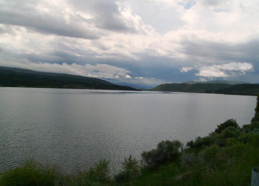
The Utah Department of Natural Resources reports nearly all of the reservoirs along the Wasatch Back are at or above capacity. Echo Reservoir near Coalville checks in at 98% full. Rockport is at 101%. Jordanelle is reported at 99% full. Smith and Morehouse is at 103% and Deer Creek measures at 98%.
Strawberry Reservoir at the top of the water chain in Wasatch County is at almost 88% and Current Creek Reservoir is at 96%.
Looking at the capacity of the state’s man-made lakes, except for Lake Powell and Flaming Gorge, the figures jumped from a low of about 43% in November 2022 to nearly 84% full by mid-June 2023.
Meanwhile, following three years in a La Niña pattern, the National Oceanic and Atmospheric Administration reports El Niño has returned. KUTV meteorologist Chase Thomason says the weather phenomenon is expected to get stronger as the colder months approach, producing another wet winter.
“There is a slight chance as we head into next winter, that we will have an above normal precipitation year but that also means above normal temperatures," Thomason said. "So, while the lower valleys, say the Wasatch Front, might see more rain than snow, typically we'll still see more snowfall in the Park City and Wasatch Back area when we have strong El Niño years.”
And that means the Wasatch Back could be in for another big winter.
“During an El Niño pattern, with those storms moving in more to the south, we have more of a southwest flow. So, that would actually favor the Wasatch Back more than the Cottonwood Canyons," he said. "Now, the Cottonwood Canyons will always have more snow just because of the nature of the Cottonwood Canyons. However, with the southwest flow, that really helps bring above normal precipitation to Park City in the Wasatch Back.”
This past winter, the La Niña pattern produced Utah’s record-breaking snowfall. Thomason says it was simply an anomaly no one can explain.
“What happened last winter was just one of those random spikes where it doesn't really make any sense in both patterns," Thomason said. "We tapped into all those atmospheric rivers, the jet stream was right over California and Nevada and Utah, and storm after storm just moved in, and it really didn't change for months.”
Even with the possibility of more water coming to Utah, Lake Powell is still 127 feet from full capacity. The good news is the lake is up more than 50 feet since mid-April and Thomason says we should see another 20 feet or so before the snowmelt ends this year.


