Lea este artículo en español aquí.
The February water outlook from the Utah Snow Survey has a grim forecast for the state’s snow year.
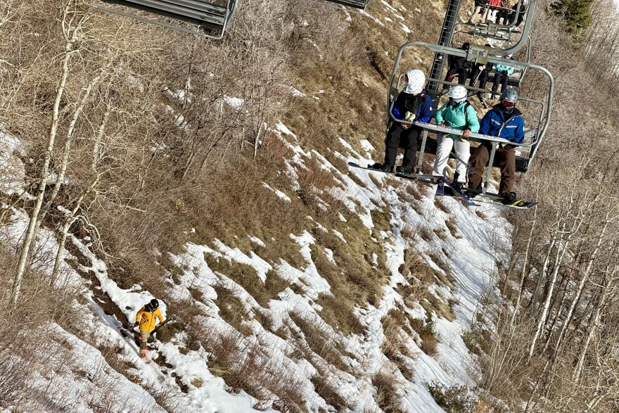
Scientists predicted Feb. 1 that the state has only a 1 in 10 chance of reaching a normal snowpack peak this winter.
Jordan Clayton leads Utah’s Snow Survey program and calls the season “unprecedented.” He said the recent storm that moved through Utah helped, but the outlook for the season remains dismal.
“About 95% of the time, the state has seen more snowpack than it’s seen as of right now – that’s unfortunately still including the snow that we just got,” he said on KPCW’s “Local News Hour” Feb. 19. “We’re not breaking records anymore for record-low snow but we’re still in the bottom 5% of what we’ve seen in the past.”
Clayton said the state would need six or eight more storms on the scale of this week’s to get to a normal winter.
About 95% of Utah’s water supply comes from snowpack.
Clayton said Wasatch Back reservoirs can expect lower than normal runoff this year. For example, the amount that flows into Echo Reservoir this summer is likely to be about half of what’s normal.
“It’s going to be a tough year for managing a limited water supply,” he said.
The outlook for the East Canyon subbasin, which covers the Park City area, is worse than what’s predicted for many other areas of the state.
“Specific to your [Park City] area, we’re still dealing with really, really anomalous – in fact, unprecedented – poor snow,” Clayton said. “And so, the managing of that scarce resource is going to have to be very careful this summer.”
Snowpack typically peaks in early April for Utah, so Clayton says his team’s forecasts will have greater confidence as spring gets closer.
As of Feb. 17, more than 90% of the state is in drought.
More data about this winter’s snowpack is available from the Utah Snow Survey website.


