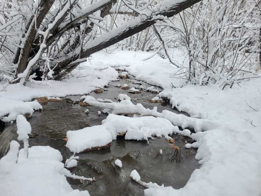
After a stint of warmer weather, new snow covered mountains and roads, causing significant traffic delays Tuesday.
“It seems like an April Fool's joke, but no, on April 1 we have switched the clock back to what it should be like in January, with off-and-on snow showers for days,” ABC4 Meteorologist Cedric Haynes said.
He said another storm system will move through the Wasatch Back Wednesday afternoon.
Snow showers that began Tuesday morning are likely to continue through Friday.
“When you're talking about the snow shower chances, they're going to be hard to produce more than about an inch or two of snow each day, just because they're going to be scattered in nature, but we can still see a quick covering of snow,” Haynes said.
The Wasatch Back will steadily warm up through the week along with more snow.
Haynes said Park City will see temperatures in the upper 30s Wednesday and Heber will be in the low 40s. Thursday Park City will hit the low 40s with Heber just a few degrees warmer. Friday it is mid-40s for Park City with Heber expected to reach 50 degrees.
The winter weather will move out this weekend.
By Sunday Haynes said the Wasatch Back will get lots of sunshine with temperatures in the 50s.


