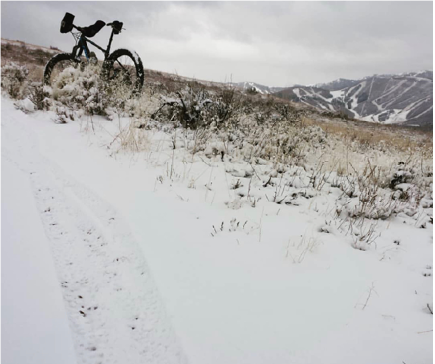
Get ready — meteorologists say this weekend will bring a cold snap and at least a few inches of powder.
Cold weather is moving through the Wasatch Mountain region this weekend. For mid- to high-elevation areas, that looks like snow.
National Weather Service meteorologist Mike Wessler says it may not be the end of fall for good. But the Wasatch Back is about to get very chilly, at least for a little while.
“We will be seeing quite the sharp transition from our pleasant fall weather Friday and early on Saturday into pretty solid winter-like conditions,” Wessler says. “The valleys will get quite cold, but especially in the mountains, you'll see a change if you're out hiking, leaf-peeping.”
The forecast shows a mild but windy Friday, then rain on Saturday when highs peak around 50 degrees in Park City and upper 50s in the Heber Valley.
The winter storm watch begins Saturday evening as temperatures drop to the mid-20s.
Wessler says to plan for snow accumulation in and around Park City. He says the Utah Department of Transportation (UDOT) will send out snow plows if necessary, but cars may need all-wheel drive, snow tires or chains in Parleys Canyon.
According to UDOT, Guardsman Pass will close at 10 p.m. Saturday. The estimated reopening time is undetermined and will depend on the strength of the storm.
The storm could last through the beginning of next week. In Park City and Heber City, Wessler says accumulation could reach five inches. But mountain peaks and ski resorts in the Wasatch Mountains could see 10 to 16 inches.
In the Salt Lake Valley, only trace snow is expected, if any.
He says the storm’s a product of overlapping environmental factors.
“It's kind of the first time this season that we'll see that polar jet, start to dip down into the mid latitudes and dip down into Utah. And with that comes quite a bit of energy, cold air that will come down from the Arctic and interior Canada, and then a little bit of moisture that's being brought in off the Pacific. And it's kind of those three factors in play that are bringing us this first good storm.”
The Great Salt Lake also plays a factor. He says the water’s as warm as it will be for the rest of the year, and cold air and moisture mixing above it destabilizes the atmosphere. If all of that occurs this weekend, he says the storm will strengthen.


