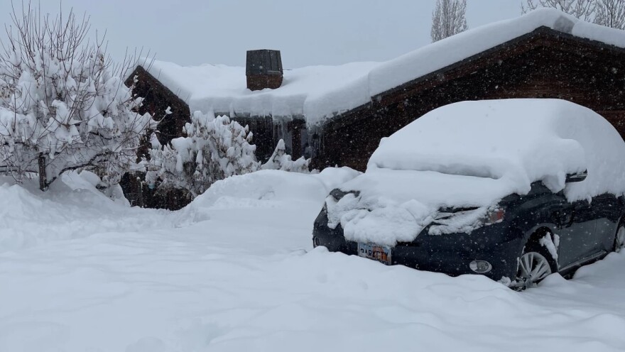
Meteorologist Thomas Geboy said the Summit and Wasatch counties will continue to see steady snow through the weekend.
Locals can expect icy roads Thursday morning with a 60% chance of more snow. The National Weather Service said the Wasatch Back will get five to 10 inches of snow. Friday and Saturday have a 90% chance of snow with a high potential Sunday as well.
And the recent snowfall has increased avalanche danger. Dave Kelly with the Utah Avalanche Center recommends avoiding all avalanche terrain right now.
“We're getting reports of avalanches that are running full track, all the way down three to four feet deep, which means that the new wind-drifted snow is breaking onto that persistent weak layer," he said. "These are avalanches that would be unsurvivable if people were to be caught in them.”
The avalanche danger is expected to continue through next week as more snow hits the Wasatch Back.
Stay with KPCW through the winter storms. We’ll bring you the latest updates as the forecasts change and the snow piles up.


