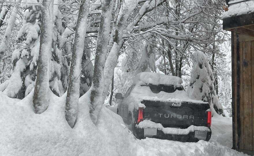


The National Weather Service said the storm should start to taper off Friday.
Estimates from 6 to 12 inches of snow are expected in the northern mountains with higher amounts of up to 18 inches in the central Wasatch.
The Utah Department of Transportation said heavy snow will develop from west to east, affecting mountain routes across the state.
The storm may impact driving conditions Thursday evening into Friday morning, according to UDOT, and traction restrictions are a possibility.

UDOT said the following routes will experience weather-related travel concerns:
-I-15, ID Border to Black Ridge
-I-70, I-15 Jct. thru Richfield to SR-10 Jct, Harley Dome near the CO Border
-I-80, Entire Route except the Salt Flats
-I-84, Entire Route
-US-6, Eureka through Soldiers Summit to Price
-US-40, Entire Route
-US-89, ID Border to Kanab
-US-191, WY border through the Uinta Basin to US-6 Jct; La Sal Jct. to Blanding
-SR-31, Entire Route
-US-189, Provo Canyon
-SR-92, American Fork Canyon
-SR-190, Big Cottonwood Canyon
-SR-210, Little Cottonwood Canyon


